
Historical Background
The nomenclature 24-Parganas has been in vogue since 15 July 1757 when Mir Jafar whom the East India Company had just established as Nawab of Bengal ceded to the Company the rights of 24 mahals. The treaty by which the cession is recorded says that "all the land lying to the south of Calcutta as far as Culpee, shall be under the Zemindari of the English Company and all the officers of this Zemindari shall be under their jurisdiction. The revenue to be paid by it (the company) in the same manner with other Zemindari". The Parwana notifying effect to the Treaty mentions the name of the 24 units of granted land.
The District of 24-Parganas started taking shape under Clause Nos.2,3 and 9 of the Regualtion of 1793. The respective jurisdictions of the civil and criminal courts for the district and revenue jurisdiction of the District Collector were demarcated by the Regulations. This arrangement remained valid till 1800.
The present district of South 24 Parganas came into existence on 1st of March, 1986. It then comprised of two sub divisions- Alipore and Diamond Harbour and of 30 blocks. Presently there are five sub divisions (Alipore, Baruipur, Canning, Diamond Harbour and Kakdwip), 29 blocks and 7 Municipalities.
General features:
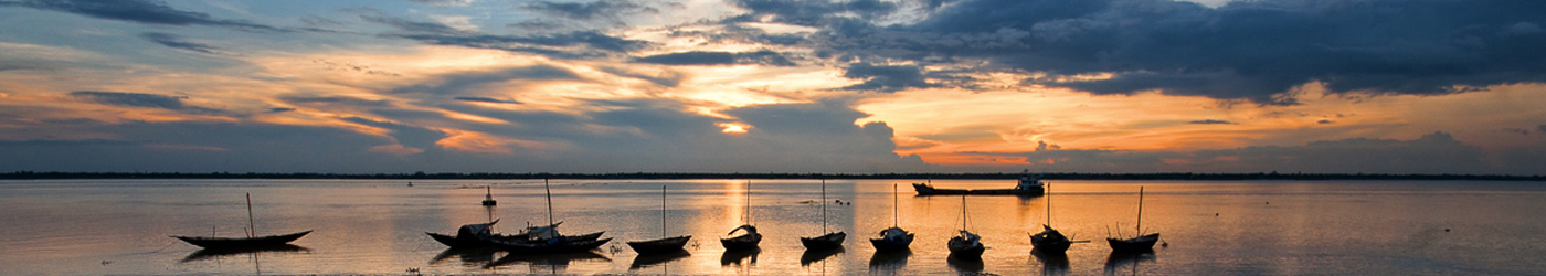
South 24 Parganas is, indeed, a complex district, stretching from the metropolitan Kolkata to the remote riverine villages upto the mouth of Bay of Bengal, Apart from its staggering size and population, the district administration has to contend with problems typical of metropolitan living in the urban area&mdashsuch as high population density and overload civic infrastructure&mdashand in complete contrast, in the rural area the lack of transport and communication facilities and weak delivery systems. 84% of the population lives in the rural areas, where development is taken care of by the panchayat bodies. The remaining 16% population is looked after by the Kolkata Municipal Corporation and seven municipalities. The scheduled caste comprises 39% of the total population and B.P.L. families constitute 37.21% of the population.
The Sundarbans, the largest mangrove forests on earth, are spread over thirteen of the twenty-nine development blocks in the district. Due to its peculiar geographical location and the dictates of geography, the means of transport and communication in this region are not well developed, with all the attendant consequences. Lack of irrigation has meant mono-cropped agriculture. Breaches in earthen embankments and cyclonic storms mean loss of life and destruction of crops and property on a regular basis. Any development strategy in this ecologically fragile environment must be carefully designed and implemented.
- By Law issued by South Twenty-four Parganas on Building Rules
- Saras Mela 2023
- List of claims and objections under SRER
- Notice for Admission to Satyendranath Tagore Civil Services Study Centre Govt of West Bengal
- Corrigendum notice regarding Interview for Recruitment of Librarian For Government Sponsored Public Libraries
- View All